
This is from our local paper having to do with the Lake Effect snow we got and why and having to do with climate change. We just had a blizzard and then went to a freezing rain event and now back to high winds and lake effect snow. Exhausting couple of weeks..
Source: Don Paul: A lake-effect lesson learned … I think – The Buffalo News
Friday is another day with an obscured Lake Erie surface.
The obscuring cloud cover is especially frustrating because we don’t have a view of where openings in the ice cover have developed from the ferocious overnight and morning winds. I have no doubt some openings are out there, but I just don’t know where.
With peak gusts of 62 mph measured at the Dunkirk Lighthouse and 58 mph at the Buffalo Airport, it’s safe to assume tremendous kinetic force has been exerted on the less stable ice away from the thicker, fixed ice at the northeast end of the lake. The offshore ice is more unstable and mobile.
We probably learned a lesson from last week’s powerful, two-band lake-effect storm with blizzard conditions. Early on, I was mystified by the dual band structure, thinking wind shear tearing at the main band was involved. As a few hours went by, it became more apparent the obscured (like Friday) larger openings in the eastern lake ice were the culprits in the second northern band. With that event in mind, this is what I wrote Wednesday in The Buffalo News: “I believe these southwest winds will destabilize this still young ice and break up portions of it to produce new openings. Models can’t handle this kind of a setup very well, so how much lake snow can be generated remains very much an open question.”
Here is what a Thursday run of a high resolution model was projecting for late Friday afternoon, which is not bad.
However, not even these sophisticated models, packed with equations and enormous loads of near real-time data, can predict where openings will develop in slushy offshore ice, how large they will become, and how mobile will they be in high winds. In fact, here is what National Weather Service Doppler Radar was showing this midmorning.

You can see multiple bands, not all that well organized, but with a lot of coverage. The darker blue indicates heavier rates of snowfall. With that in mind, in the midst of a still-developing situation, I expect snowfall amounts to be several inches greater than what has appeared in other forecasts Friday morning, though not of the magnitude of last week’s mega-event. The low level winds favor heaviest amounts falling south of the city and south of most of the metro area. The falling temperatures favor more icing to develop, but not until tonight. The strong winds will work against daytime closing of vents in the ice, with continued destabilization of the offshore ice.
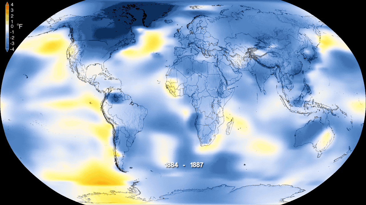
Now, let’s move on to a warmer topic, away from current weather and into climate. Thursday, NASA and the National Oceanic and Atmospheric Administration, announced 2018 was the fourth warmest year globally since 1880, when humankind began more rapid emission increases in carbon dioxide and eventually methane greenhouse gases. Here is a short video from NASA.

Mean global warming is never uniform, as you can see from the coloring and shading in the last few decades. For example, NOAA reports last year was “only” the 14th warmest year on record for the lower 48 states. The polar and subtropical jet streams tend to move in waves with uneven heating depending on the position of those waves. It’s warmer under large ridges of high pressure, and colder in longer waves of low pressure.
Back to weather, not climate, for a moment. The uneven distribution of warmth and cold tied to those waves is very evident in Friday’s 24-hour temperature change from Thursday.

Now, we head back to climate.
In the NASA loop, you can see the greatest amount of warming has occurred in the Arctic region. That is precisely what was predicted in earlier climate models in the 1980s.
The physics behind that prediction are not inordinately complex. Ice and snow cover are highly reflective of the sun’s energy. Because the Arctic Ocean differs from Antarctica in that there is no underlying vast continent, when Arctic sea ice melts, it gives way to dark ocean waters. The melting accelerated in the later 20th century because of a warming mean climate. Dark ocean waters, instead of reflecting solar energy back into space, absorb it. With that, the Arctic Ocean warms and stays warm longer into the early autumn.
Going from white to dark blue is a drastic environmental change in the Northern Hemisphere’s energy budget. There is more evaporation from these longer-lasting warmer waters, adding more water vapor to the atmosphere. From this change comes a feedback mechanism which is, well, self-feeding. The shorter freezing season doesn’t allow sea ice in the winter to reach its former thicknesses. That thinner ice then melts more readily the following spring and summer. In the mean, that lengthens the season for great expanses of ocean water and so on … a feedback mechanism.
Moreover, a warming Arctic has lessened the temperature contrast between the high latitudes and the temperate mid-latitudes. The lessened thermal contrast is known to weaken the polar jet stream.
A weaker polar jet stream allows the atmospheric flow to buckle more frequently from north to south, with blocking patterns becoming more frequent. In blocking patterns, weather features, both storms and high pressure systems, tend toward slowing down or stalling in place.
This tendency toward more blocking is now thought to have been responsible for the well-forecasted inland stalling of disastrous tropical cyclones Harvey and Florence. Other consequences of more frequent blocking also impact Europe and Asia. The weaker polar jet also allowed the weaker lobe of the polar vortex to bring us last week’s brutal cold. So, if it seems counterintuitive that a warming mean climate in the Arctic can bring us periods of harsh winter weather, it isn’t. That’s where the peer-reviewed science is confirming earlier suspicions.
Finally, a warmer Arctic has led to drastically increased rates of Greenland ice melt in just the last 15 years (the rate has quadrupled since 2003), lending far more freshwater ice melt to the already rising sea levels.
